Main Sections
Visual Landscape Management
The appearance of local landscapes is important to people who live, work and recreate in the plan area. Due to terrain, most activities have the potential to affect visual quality.
Visual design principles are encouraged for use throughout the plan area. These include:
- scale of alteration;
- appearance of openings;
- shape of openings;
- fit to landform;
- use of natural features and patterns;
- trees left for screening; and
- choice of silvicultural system.
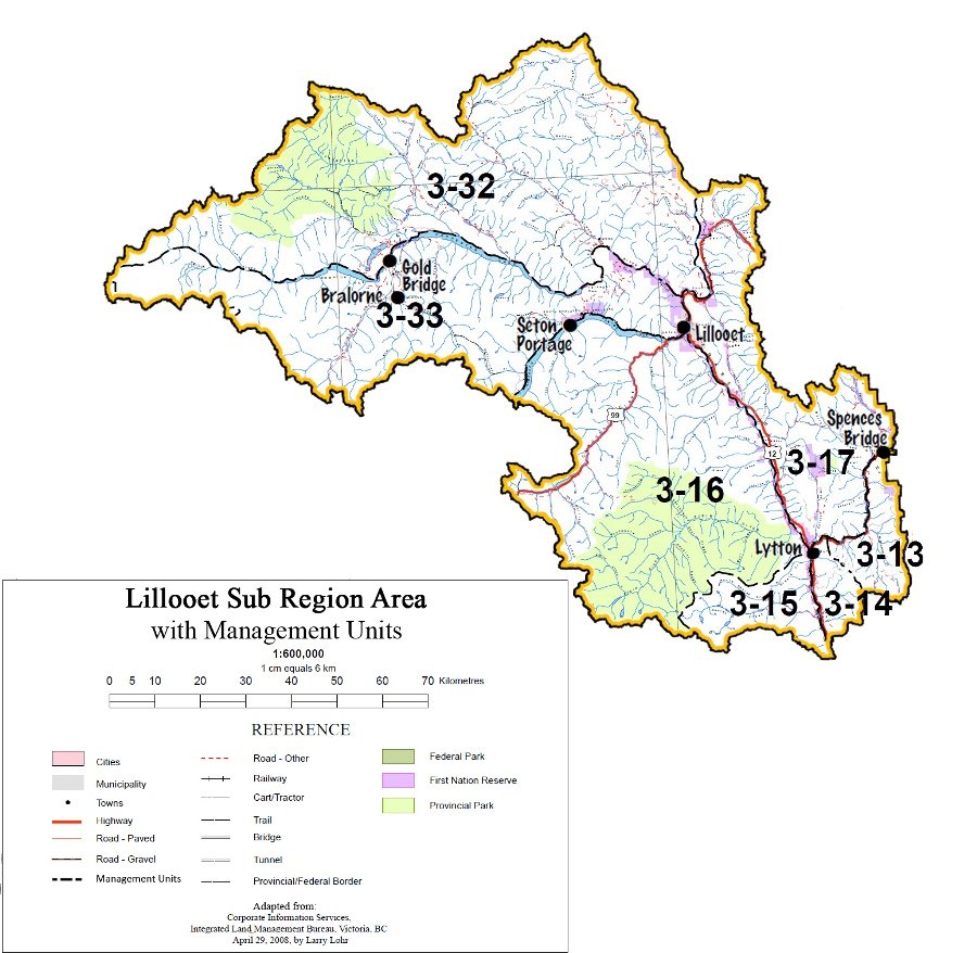
The plan identifies two visual management zones (see map):
- Zone A – areas of high visual importance along paved travel corridors and adjacent to communities;
- Zone B – areas of moderate visual importance, or, areas where inventories have not been completed.
Issues:
- Forest and non-forest development activities can reduce visual quality
- Visual inventories are incomplete
Goals:
- Attractive landscapes that promote enjoyment of the natural surroundings, while balancing visual design with economic and environmental considerations
| Objectives | Management Direction/Strategies | Measures of Success/Targets | Intent |
|---|---|---|---|
| 1 Manage areas within Zone A as known scenic areas; and manage areas within zone B to reduce the visual impact of harvesting activities (see map) | 1.1 Establish visual quality objectives for Zone A (see map) | Formal establishment of scenic areas and visual objectives within one year of confirming boundaries for Zone A Visual quality objectives for Zone A achieved | These areas will be managed under provisions of the Forest and Range Practices Act, as known scenic areas with established visual quality objectives. Visual impact assessments will be required. Developments must borrow from natural line and form and follow natural boundaries (creeks, ridges, draws, topography breaks, natural types) and look natural in shape and scale |
| 1.2 In Zone B (see map), attempt to achieve visual quality classes | Formal establishment of scenic areas and visual objectives within one year of confirming boundaries for Zone B Forest development incorporates visual design principles Visual landscape inventories completed | Areas of high visual importance that have not been inventoried. Manage areas with broad visual quality classes to provide general management targets while maintaining operational flexibility. Visual simulations from key viewpoints will be required. Developments must borrow from natural line and form and follow natural boundaries (creeks, ridges, draws, topography breaks, natural types) and look natural in shape and scale | |
| 1.3 Use visual design principles throughout the rest of the plan area to borrow from natural line and form | It is anticipated that future harvesting which is based more on visual design principles will appear more natural and may require shorter green-up periods to blend back in | ||
| 1.4 During forest development planning and activities, outside of Zones A and B, and within areas associated with recreation trails and sites specified by the District Manager, maintain the appearance of a diverse landscape | Cascades Forest District, in consultation with MSRM, will determine the location of identified recreation trails and sites to be managed (see Table 1 in Tourism and Recreation) | ||
| 2. Manage nonforest development to achieve attractive landscapes | 2.1 Incorporate consideration of visual resources into nonforest resource developments (e.g. urban developments, recreation and tourism facilities, utility corridors, mine development) Consider using visual impact assessment as a tool to assist in evaluating impacts to visual resources | To consider appropriate provisions (e.g., visual screening, utilizing landscape design principles) for visual resource management in planning and development for non-forest development activities |
